Powers is a remote forest town deep in the South Fork Coquille River country, a former logging company community surrounded by rivers, mountains and Rogue River–Siskiyou National Forest.
Powers grew during the early 20th-century timber boom. Between 1912 and 1915, the Smith-Powers Logging Company pushed a railroad up the South Fork Coquille River to reach vast timber holdings and platted the town that became Powers.
The community functioned as a company and logging town tied to mills and rail lines leading toward Coos Bay. Timber camps, railroads and forest work defined life for generations.
As large-scale logging declined, Powers became a much smaller community, but its relationship with surrounding forest and river country remains central. The town now sits as one of the most remote gateways into the South Coast interior.
DID YOU KNOW?
The railroad came for the trees
Powers exists where it does largely because a logging railroad was built into the upper Coquille watershed. The line opened enormous stands of timber that were previously too remote to move economically to coastal mills.
LANDMARKS • SCENERY • EXPERIENCES
Things to see & do in Powers
Powers is for travelers who enjoy quiet forest country, river scenery and remote roads more than conventional tourist attractions.
01
South Fork Coquille River
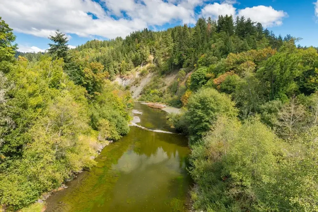
Explore river corridors, swimming holes and forest scenery around the waterway that shaped both the town and the logging routes that reached it.
02
Rogue River–Siskiyou National Forest
Forest roads around Powers lead toward trailheads, campgrounds, creeks and backcountry landscapes far from Highway 101.
03
Historic town center
Look for the scale and street pattern of a former company town and imagine the rail and logging activity that once dominated local life.
04
Waterfalls & forest drives
Seasonal cascades, old logging routes and mountain roads make the area especially scenic after winter and spring rains.
Around Powers
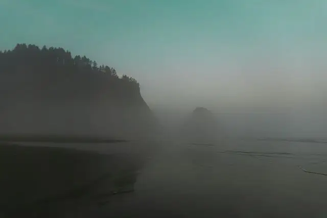
Coastal atmosphere for the Powers guide. Photo via Pexels.
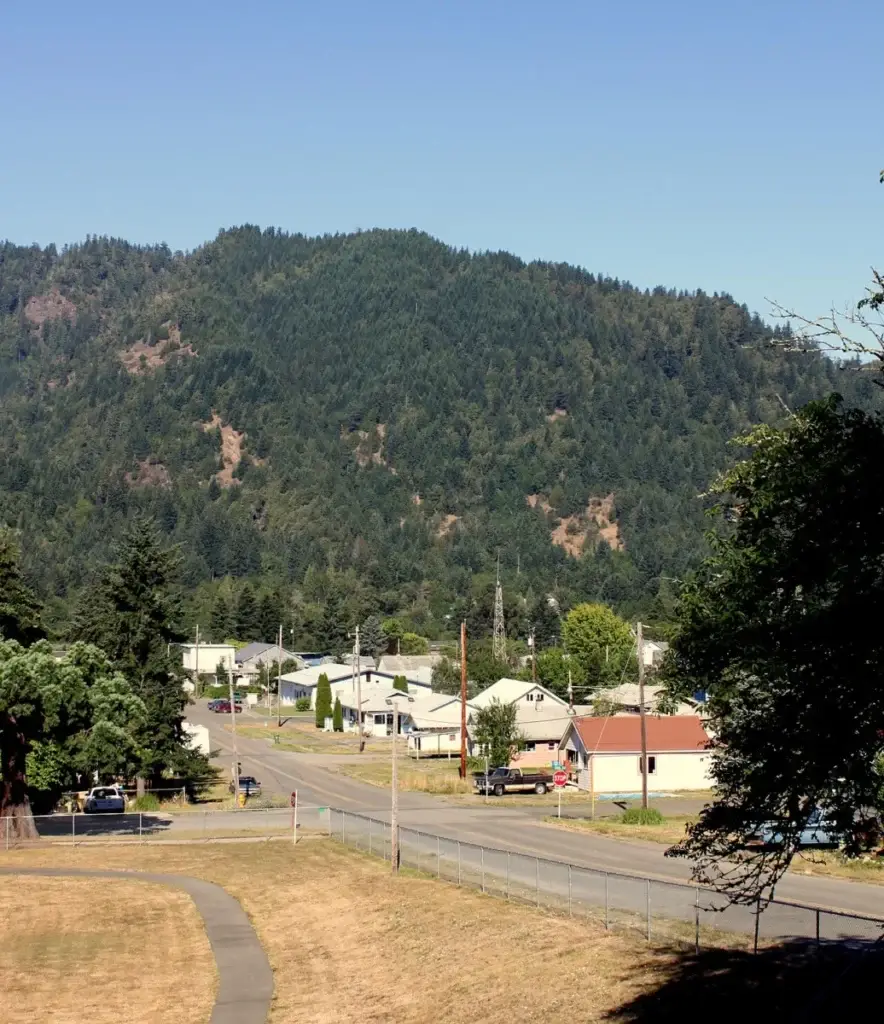
Skyline of Powers, Oregon. Photo by Tedder via Wikimedia Commons (CC BY 3.0).
NATURE & WILDLIFE
Wildlife to watch for
Roosevelt elk and black-tailed deer are common in surrounding forest, along with black bears, coyotes and smaller mammals. Bald eagles and osprey follow rivers, while salmon and steelhead use the Coquille watershed. Remote forest also supports owls, woodpeckers and a wide range of amphibians.
SEASONAL WEATHER
What the weather feels like
Typical daytime high / overnight low ranges. Coastal weather can change quickly, so treat these as seasonal guideposts rather than a forecast.
Spring
Highs about 58–68°F • lows 39–46°F
Summer
Highs about 72–82°F • lows 48–54°F
Fall
Highs about 62–75°F • lows 42–50°F
Winter
Highs about 50–56°F • lows 35–42°F
COAST RANGE TOWN
What Powers Is Known For
Powers lies inland along the South Fork Coquille River, surrounded by the steep, forested Coast Range. Its setting feels remote and deeply connected to the region’s logging history.
The river, Powers County Park and nearby forest roads make the town a base for camping, fishing and exploring a greener, quieter side of Coos County.
Powers has limited services and long distances separate it from larger towns. Carry fuel, food, water and a basic emergency kit before exploring forest routes.
Cell service can disappear
Do not rely on a phone for navigation in remote forest country. Download maps in advance and tell someone where you are going.
Forest roads change seasonally
Slides, washouts, fire closures and snow at higher elevations can affect access. Check current Forest Service conditions before long backroad trips.
LOCAL HISTORY • CULTURE • STRANGE & TRUE STORIES
Stories from Powers
Fresh stories connected to Powers appear here automatically when they are tagged Powers-blog.
LOCAL STORY
Before Powers Was Powers: Smith-Powers Logging and a Town at the End of the Valley | Powers Blog
Powers began as Coquille homeland and became a company logging town named for Albert H. Powers. Discover its railroad and timber history….